
Slika:Manthokha Waterfalls.JPG
Izvorna datoteka (5.184 × 3.456 točk, velikost datoteke: 8,19 MB, MIME-vrsta: image/jpeg)
Spodaj prikazane informacije so s tamkajšnje opisne strani.
Povzetek
| Opis |
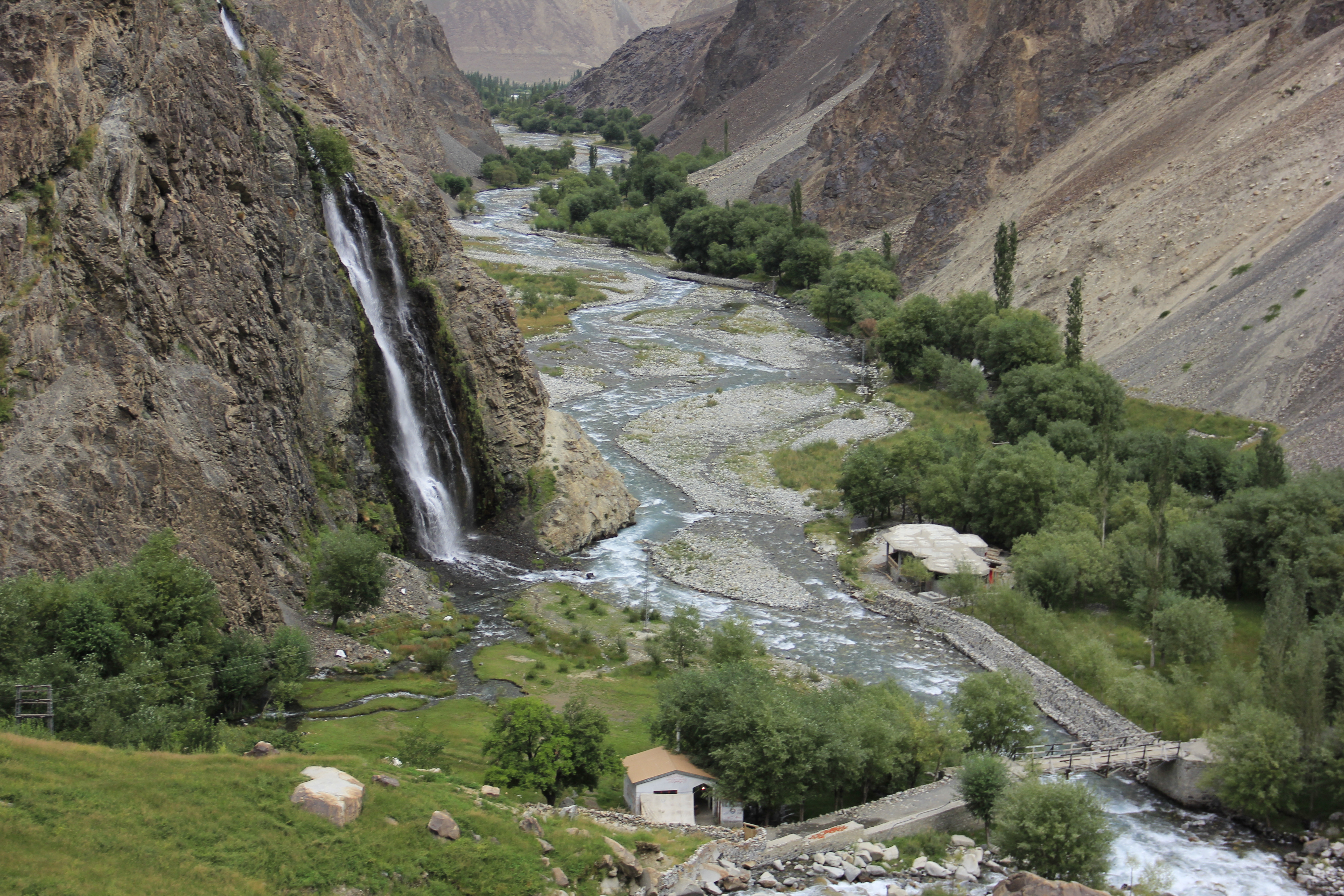
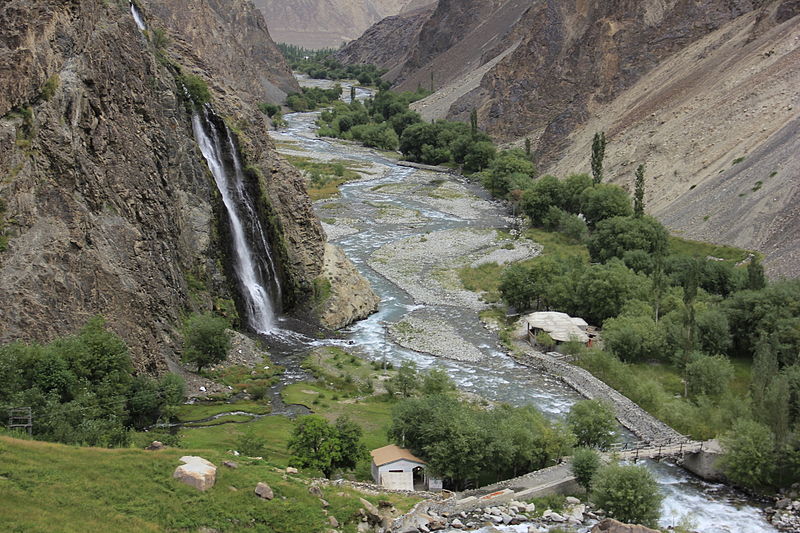
English: Manthokha waterfalls Located in the village of Manthokha Kharmang in District Skardu, Gilgit-Baltistan, this waterfall is famous for its picturesque and spectacular landscape. This is one of the main meccas of the district Skardu welcoming the native as well as international tourists.
The waterfall is in village Manthokha which can be accessed from Skardu city. Heading towards Manthokha Waterfall one has to follow the Kargil-Skardu road from Skardu city. While moving to Manthokha the following villages comes in the way on Kargil-Skardu road: Hussainabad, Thorgo, Parkutta, Ghasing and Manthokha. A stream running downstream falls into the Indus River at Manthokha village. On the east side of this stream is Madhupur, a raod Manthoka-Madhupur road shall lead you to your final destination, Manthokha Waterfall. How to Reached Manthokha WaterFalls Baltistan from Islamabad. By Air. The PIA flight 451 flies to Skardu from Islamabad daily at 10:00 am (usually). It’s a 45 minutes flight, which is well worth the price you pay. During the flight, if you are sitting on the right side, you will see some of the most beautiful mountain ranges from Nanga Parbat, Raka Poshi and also a distant view of the K2, the queen of all mountains.Skardu City is 10 miles from Skardu Airport and when you reached Skardu Bazar you will see Direction to Manthokha. By Road. Manthokha Waterfalls can be reached via Skardu by bus from Islamabad. The drive takes you all the way over the KKH (Karakoram Highway). Since the KKH is still under construction and the Skardu road still has to be repaired, the road can take up to 24 hours by public transport (cost approx. 2500 Rupees). Manthokha Valley is 60km from city of skardu. is located near the confluence of Indus rivers, and is watered by the stream flowing down the Manthokha Nala. Although Manthokha is the base camp for the routes to Sub Division Kharmang. |
| Datum | |
| Vir | lastno delo |
| Avtor | Rajab Saha |
| Lokacija fotoaparata | | Ta in druge slike po lokaciji: OpenStreetMap |
|---|
Manthokha Waterfall, Skardu-16300
Licenca
- Dovoljeno vam je:
- deljenje – reproducirati, distribuirati in javno priobčevati delo
- predelava – predelati delo
- Pod naslednjimi pogoji:
- priznanje avtorstva – Navesti morate ustrezno avtorstvo, povezavo do licence in morebitne spremembe. To lahko storite na kakršen koli primeren način, vendar ne na način, ki bi nakazoval, da dajalec licence podpira vas ali vašo uporabo dela.
- deljenje pod enakimi pogoji – Če boste to vsebino predelali, preoblikovali ali uporabili kot izhodišče za drugo delo, morate svoj prispevek distribuirati pod enako ali združljivo licenco, kot jo ima izvirnik.
Ta slika je bila naložena v okviru natečaja Wiki Loves Earth 2015.
|
 |
Zgodovina datoteke
Kliknite datum in čas za ogled datoteke, ki je bila takrat naložena.
| Datum in čas | Sličica | Velikost | Uporabnik | Komentar | |
|---|---|---|---|---|---|
| trenutno | 14:42, 22. maj 2015 | | 5.184 × 3.456 (8,19 MB) | Rajab Saha | User created page with UploadWizard |
Uporaba datoteke
Datoteka je del naslednje 1 strani slovenske Wikipedije (strani drugih projektov niso navedene):
Globalna uporaba datoteke
To datoteko uporabljajo tudi naslednji vikiji:
- Uporaba na bn.wikipedia.org
- Uporaba na en.wikipedia.org
- Uporaba na hi.wikipedia.org
- Uporaba na mr.wikipedia.org
- Uporaba na ms.wikipedia.org
- Uporaba na zh.wikipedia.org