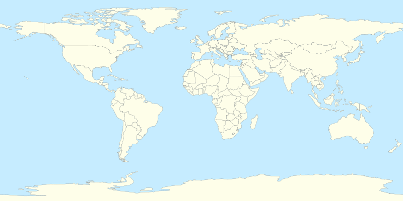
Slika:World location map.svg

Velikost tega predogleda PNG datoteke SVG: 800 × 400 točk. Druge ločljivosti: 320 × 160 točk | 640 × 320 točk | 1.024 × 512 točk | 1.280 × 640 točk | 2.560 × 1.280 točk.
Izvorna datoteka (Datoteka SVG, nominalno 800 × 400 pikslov, velikost datoteke: 595 KB)
Zgodovina datoteke
Kliknite datum in čas za ogled datoteke, ki je bila takrat naložena.
| Datum in čas | Sličica | Velikost | Uporabnik | Komentar | |
|---|---|---|---|---|---|
| trenutno | 16:33, 11. julij 2014 |  | 800 × 400 (595 KB) | Mîḵā'ēl (SK) | same file, better change-descr.: 1. Cyprus is closer to Turkey coast (adjusted projection, coords from File:Cyprus location map.svg); 2. internal changes (Cyprus, Sudan and South Sudan), style-based highlighting again possible (see the original note) |
| 15:27, 7. julij 2014 |  | 800 × 400 (595 KB) | Mîḵā'ēl (SK) | * ''Visible change:'' the '''Cyprus''' island is now in the same projection as the rest of the map (source of GPS data: File:Cyprus location map.svg), apparently moving closer to the coast of Turkey. * ''Invisible changes:'' the countries of '''Cy... | |
| 22:22, 5. april 2014 |  | 800 × 400 (593 KB) | RicHard-59 | Sudan divided; Island of Cyprus was missing | |
| 20:53, 18. april 2010 |  | 800 × 400 (585 KB) | STyx | {{Information |Description={{en|1=?}} |Source=? |Author=? |Date= |Permission= |other_versions= }} == {{int:filedesc}} == {{Information |Description={{en}}Blank world map for location map templates (en:Equirectangular projection). {{fr}}Une carte vier |
Uporaba datoteke
Datoteka ni del nobene strani slovenske Wikipedije.
Globalna uporaba datoteke
To datoteko uporabljajo tudi naslednji vikiji:
- Uporaba na cs.wikipedia.org
- Etna
- Vesuv
- Mount Rainier
- Grand Slam (tenis)
- Metropolitní opera
- Šablona:LocMap Svět
- Avačinská sopka
- Lavička Václava Havla
- Calenzana
- Wikipedista:BíláVrána/Pískoviště
- Olympijské hry mládeže
- Mistrovství světa ve fotbale klubů 2015
- Mistrovství světa ve fotbale klubů 2016
- Seznam zemětřesení v roce 2017
- Ulawun
- Seznam zemětřesení v roce 2019
- Seznam zemětřesení v roce 2018
- Repertoárové divadlo San Jose
- Seznam zemětřesení v roce 2020
- Taal (sopka)
- Decade Volcanoes
- Colima (sopka)
- Seznam zemětřesení v roce 2021
- Seznam zemětřesení v roce 2022
- Seznam zemětřesení v roce 2023
- Uporaba na de.wikipedia.org
- Uporaba na de.wikivoyage.org
- Uporaba na el.wikipedia.org
- Uporaba na en.wikipedia.org
- Uporaba na es.wikipedia.org
- Uporaba na he.wikipedia.org
- Uporaba na ik.wikipedia.org
- Uporaba na ko.wikipedia.org
- Uporaba na lv.wikipedia.org
- Uporaba na mn.wikipedia.org
Oglejte si globalno uporabo te datoteke.


