
Slika:Madagascar sat.png
Velikost tega predogleda: 320 × 599 točk. Drugi ločljivosti: 256 × 480 točk | 876 × 1.640 točk.
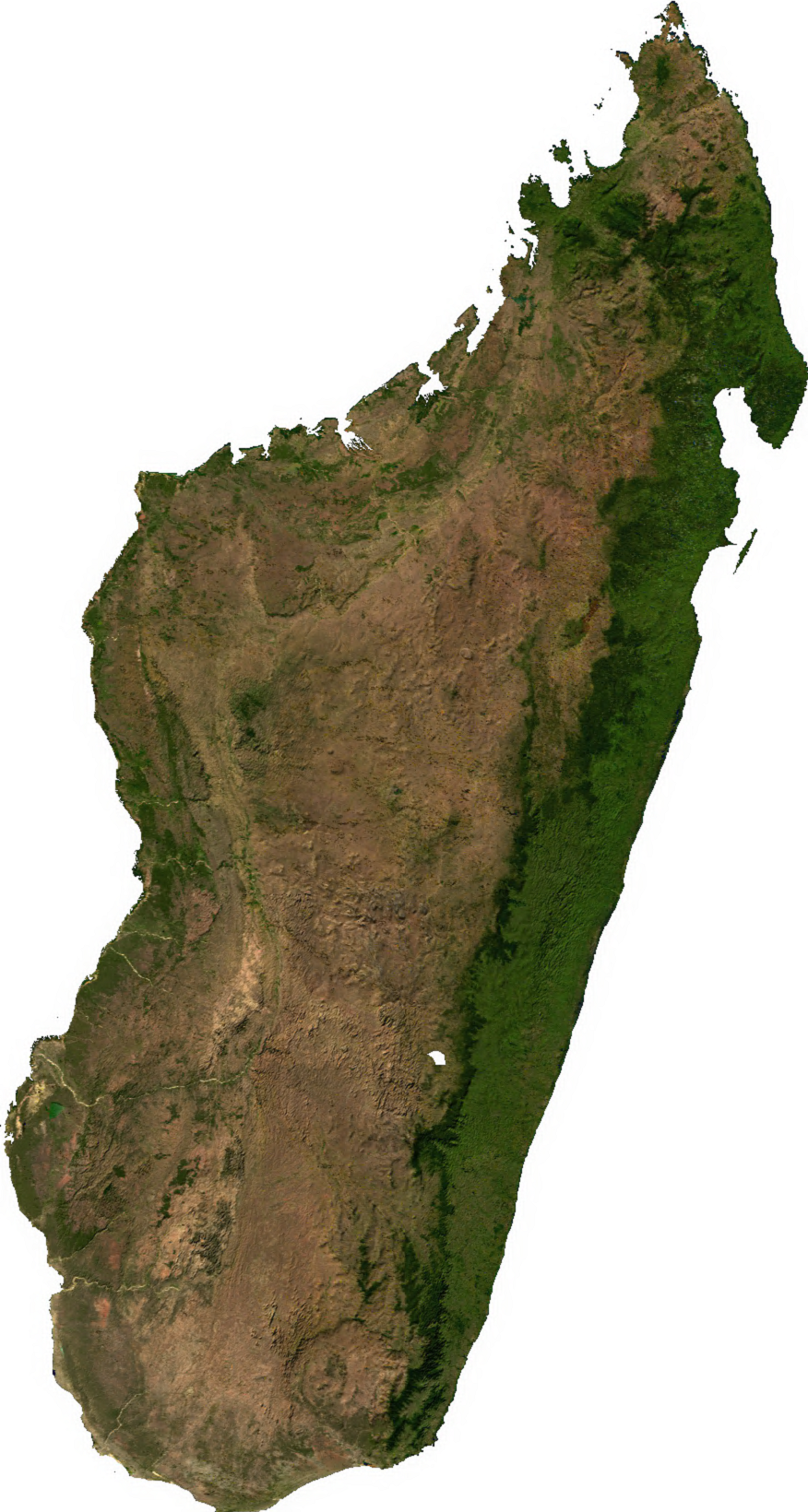
Izvorna datoteka (876 × 1.640 točk, velikost datoteke: 1,45 MB, MIME-vrsta: image/png)
Spodaj prikazane informacije so s tamkajšnje opisne strani.
Povzetek
| Opis | |
| Datum | neznan datum |
| Vir | Generated using free sources available at The Map Library |
| Avtor |
Licenca
| This file is in the public domain, because it was generated by a user, using free sources available at The Map Library.
Note that this does not include the maps in the Global Administrative Areas section of the homepage. |
Zgodovina datoteke
Kliknite datum in čas za ogled datoteke, ki je bila takrat naložena.
| Datum in čas | Sličica | Velikost | Uporabnik | Komentar | |
|---|---|---|---|---|---|
| trenutno | 04:31, 14. julij 2006 | | 876 × 1.640 (1,45 MB) | Unquietwiki | ECW to TIFF to PNG (compression level 9). {{PD-MapLibrary}} |
Uporaba datoteke
Datoteka je del naslednje 1 strani slovenske Wikipedije (strani drugih projektov niso navedene):
Globalna uporaba datoteke
To datoteko uporabljajo tudi naslednji vikiji:
- Uporaba na ar.wikipedia.org
- Uporaba na ast.wikipedia.org
- Uporaba na bcl.wikipedia.org
- Uporaba na bg.wikipedia.org
- Uporaba na bn.wikipedia.org
- Uporaba na en.wikipedia.org
- Uporaba na fr.wikipedia.org
- Uporaba na it.wikipedia.org
- Uporaba na ka.wikipedia.org
- Uporaba na lt.wikipedia.org
- Uporaba na mg.wikipedia.org
- Uporaba na my.wikipedia.org
- Uporaba na pnb.wikipedia.org
- Uporaba na pt.wikipedia.org
- Uporaba na ro.wikipedia.org
- Uporaba na th.wikipedia.org
- Uporaba na tl.wikipedia.org
- Uporaba na uk.wikipedia.org
- Uporaba na ur.wikipedia.org
- Uporaba na vec.wikipedia.org
- Uporaba na vi.wikipedia.org
- Uporaba na www.wikidata.org
- Uporaba na yo.wikipedia.org
- Uporaba na zh-yue.wikipedia.org
- Uporaba na zh.wikipedia.org