
Slika:Karte A Tirol RE.svg

Velikost tega predogleda PNG datoteke SVG: 800 × 457 točk. Druge ločljivosti: 320 × 183 točk | 640 × 366 točk | 1.024 × 585 točk | 1.280 × 731 točk | 2.560 × 1.463 točk.
Izvorna datoteka (Datoteka SVG, nominalno 1.050 × 600 pikslov, velikost datoteke: 16 KB)
Spodaj prikazane informacije so s tamkajšnje opisne strani.
Povzetek
| Opis |
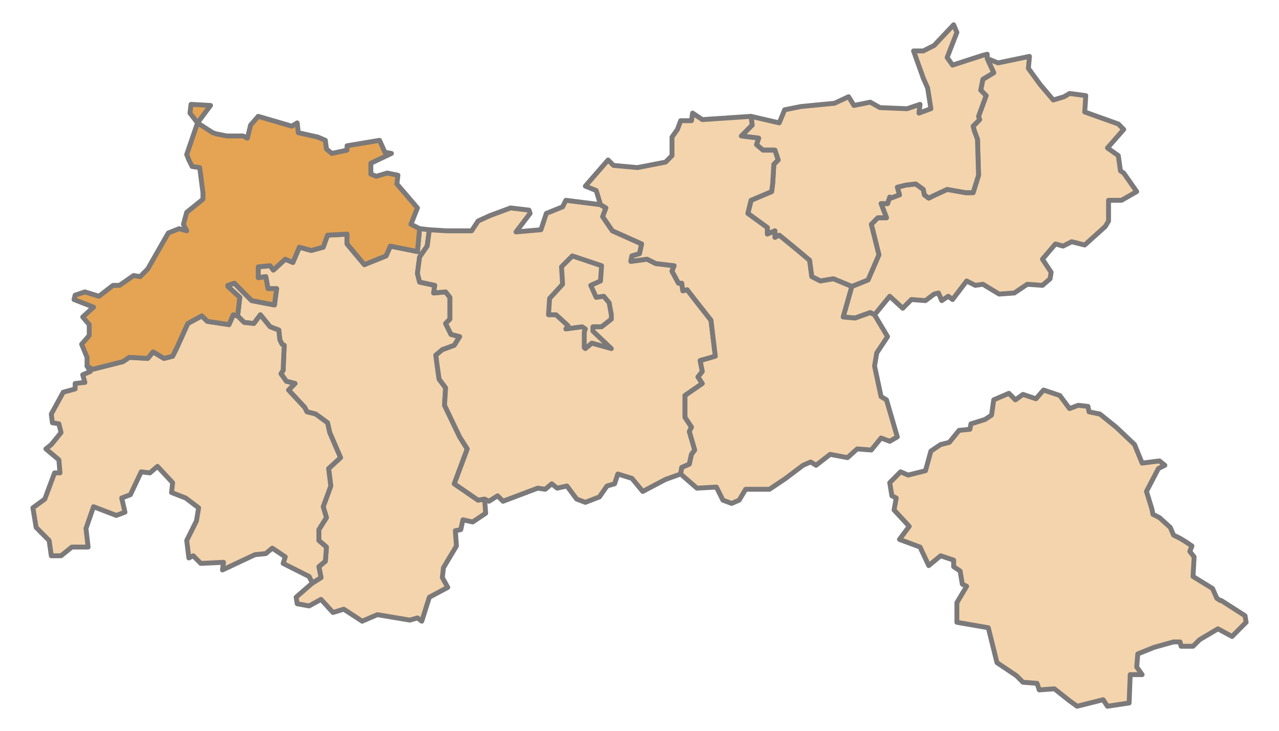
English: Map of the Austrian State Tyrol, highlighting Reutte
Deutsch: Karte des österreichischen Bundeslandes Tirol, Reutte hervorgehoben |
| Datum | |
| Vir | lastno delo |
| Avtor | AleXXw |
Licenca
| Jaz, imetnik avtorskih pravic na tem delu, izročam to delo v javno domeno. To velja po vsem svetu. V nekaterih državah to pravno morda ni mogoče. Če je tako, Vsakomur dajem (v okviru zakonskih omejitev) brezpogojno pravico, da gradivo uporablja v kateri koli namen. |
Zgodovina datoteke
Kliknite datum in čas za ogled datoteke, ki je bila takrat naložena.
| Datum in čas | Sličica | Velikost | Uporabnik | Komentar | |
|---|---|---|---|---|---|
| trenutno | 14:58, 10. julij 2010 | | 1.050 × 600 (16 KB) | AleXXw | == {{int:filedesc}} == {{Information |Description={{en|1=Map of the Austrian State Tyrol, highlighting Reutte}} {{de|1=Karte des österreichischen Bundeslandes Tirol, Reutte hervorgehoben}} |Source=Eigenes Werk (own work) |Author=AleXXw |D |
Uporaba datoteke
Datoteka je del naslednje 1 strani slovenske Wikipedije (strani drugih projektov niso navedene):
Globalna uporaba datoteke
To datoteko uporabljajo tudi naslednji vikiji:
- Uporaba na als.wikipedia.org
- Bach (Tirol)
- Vorlage:Navigationsleiste Städte und Gemeinden im Bezirk Reutte
- Berwang
- Biberwier
- Bichlbach
- Breitenwang
- Ehenbichl
- Ehrwald
- Elbigenalp
- Elmen
- Forchach
- Gramais
- Grän
- Häselgehr
- Heiterwang
- Hinterhornbach
- Jungholz (Tirol)
- Höfen (Tirol)
- Holzgau
- Kaisers
- Lechaschau
- Lermoos
- Musau
- Namlos
- Nesselwängle
- Pfafflar
- Pflach
- Pinswang
- Reutte
- Schattwald
- Stanzach
- Steeg (Tirol)
- Tannheim (Tirol)
- Vils (Stadt)
- Vorderhornbach
- Wängle
- Weißenbach am Lech
- Zöblen
- Uporaba na de.wikipedia.org
Oglejte si globalno uporabo te datoteke.